Latest news will appear here soon.

Tag: qgis.org

QGIS Sustainability Initiative – Annual Report

What is the QGIS Sustainability Initiative?

At OPENGIS.ch, we believe that the long-term health of the QGIS ecosystem depends on more than just adding new features. Critical work like bugfixing, code reviews, codebase maintenance, and quality assurance often goes unnoticed, yet it is essential to delivering the stable, reliable software that thousands of organisations depend on every day. That is why we launched the QGIS Sustainability Initiative (#sustainQGIS). For every support contract of more than 10 days, we donate development time to the initiative. In addition, all unused hours at the end of the year of each contract are also donated. This ensures that buying an OPENGIS.ch support contract directly helps enable the long-term, sustainable development of the QGIS and QField ecosystem.


2025 at a glance

In 2025, our team invested a total of 168 hours into the QGIS Sustainability Initiative, spread across five key areas of work. On the wider QGIS project, we contributed 553 comments and 294 merged pull requests throughout the year.

*In addition to these sustainability hours, OPENGIS.ch dedicated 105 hours to QGIS bugfixing funded by QGIS.org.


Sustainability work by category – 168 hours


Our team


OPENGIS.ch on QGIS in 2025

Beyond the sustainability initiative, OPENGIS.ch had a significant presence in the QGIS codebase throughout 2025. In total, our team contributed 773 commits, 221 merged pull requests, 384 PR reviews, and helped close 122 bugs, plus 126 hours of dedicated bugfixing (21h from the sustainability initiative + 105h funded by QGIS.org).


Why It Matters

Every hour invested in the QGIS Sustainability Initiative strengthens the foundation that thousands of organisations rely on. By choosing an OPENGIS.ch support contract, you are not only getting expert support for your projects, you are directly contributing to a healthier, more sustainable open-source GIS ecosystem.


Thank you for being part of this journey.

Learn More

Sustainability initiative: what is it and why we do it?

At OPENGIS.ch, we create open-source software.
We are contributors, maintainers, and in the case of QField, the team that builds it.

That comes with a responsibility we take seriously: giving back.

“Give back” is not a slogan. It is our first core value, and the very reason the sustainability initiative exists.

Open-source is a garden. If you eat from it, water it, and keep seeding.

The Importance of seeding opening keynote, FOSS4G 2023

What is the #sustainQGIS initiative?

Open-source software has a well-known problem: the work that keeps it healthy is largely invisible. Bug fixes, code reviews, refactoring, test coverage, onboarding new contributors: none of these appear in a feature list, but without them, the software eventually degrades. Proprietary projects can budget for this work directly. Open-source projects mostly rely on whoever finds the time.
We wanted to change that, at least in our corner of the ecosystem.


The model is simple. For every support contract we sign that exceeds 10 days, we donate a portion of those days to the initiative. Any unused contract hours at year-end also flow in. That pool of time gets spent on exactly those invisible tasks: triaging and fixing bugs that affect stability, reviewing pull requests so good contributions actually land in the codebase, and doing the unglamorous maintenance work that keeps QGIS’s core solid.

Why we do it

We built a successful company around QGIS and QField. We write code (custom features, plugins, processing algorithms, entire applications) on top of these platforms every day. When a client needs something that cannot be done out of the box, we build it. And we build it inside the project whenever that makes sense, not in a private fork that nobody else benefits from.

Pushing changes upstream instead of maintaining private forks, sponsoring the QGIS project financially, and donating hours are all expressions of the same logic: the ecosystem is a shared asset, and shared assets need shared investment.

I chair the QGIS.org foundation, so I see directly how much the project depends on companies like ours showing up. A bug that slips through costs every QGIS user time. A code review that never happens means a useful feature sits in limbo for months. And a small group of core maintainers carrying the full load eventually burns out. These are not abstract problems. They affect users and the community on a daily basis.

What this means when you work with us?

When you sign a support contract with OPENGIS.ch, you are not just buying expert help with QGIS and QField. A slice of that contract goes back into the project itself. Your investment in solving your own GIS challenges also helps keep the platform reliable for everyone.

We think that is a good deal. It is the way we want to do business.

If you want to know more about the initiative or are ready to make a difference, get a support contract.

Open-source is a garden.
If you eat from it, water it, and keep seeding.

Learn More

QField 4.1 "Barents Sea": Dive into the third dimension and coordinate geometry operations!

QField’s first release of the year comes packed with new features as well as a bundle of improvements and polishing. Let’s jump right into it.

Main highlights

3D

This new version of QField comes with a shiny 3D map view, giving users the ability to render their map content on top of a three-dimensional terrain.

Users can rotate the terrain geometry to get a better understanding of elevation profiles, while also adjusting the plane’s extent by panning and zooming with drag and pinch gestures. When the GNSS positioning service is enabled, the user’s current position, as well as ongoing tracking sessions, will be overlaid on top of the 3D terrain geometry.

Watch Video

By default, QField relies on Mapzen Global Terrain tiles to determine terrain elevation. As its name indicates, this is a 30-meter digital elevation model covering the globe and hosted online, which allows QField to render 3D views without any user configuration. But it does not stop there. QField supports additional elevation sources, such as disk-based GeoTIFFs, to work in offline areas. This can be configured when setting up a project by changing the terrain type in QGIS.

COGO operations

Moving on to the next major functionality introduced in this new version: a COGO (Coordinate Geometry) framework to support fieldwork through a set of parameter-driven operations to generate vertices. This has been one of the most requested features by professional land surveyors, so we couldn’t be more excited to deliver it and hear back from our community.

QField 4.1 ships with three COGO tools:

  • The XYZ parameters operation generates vertices based on a manually entered pair of X and Y coordinates as well as an optional Z value;
  • The distance/angle from point operation generates vertices based on distance and angle values from a given point; and
  • The circles’ intersection operation generates vertices at the intersection of two circles, each defined by a point and a radius.

Leveraging QField’s capabilities, a COGO operation’s point parameter can be defined in multiple ways: users can enter values manually or automatically fill in the parameter using either the current GNSS position, the geometry of a pre-existing feature within a point layer, or the coordinate cursor’s location. The latter is super useful when coupled with project snapping.

There’s more

Beyond these two flagship features, this new version contains tons of improvements.

We’re happy to report that the background tracking functionality introduced for Android last year is now available on iOS. Users can now save battery by locking their phone while QField continues to track positions. Upon reopening QField, the collected positions will be written into your project. No Apple will be left behind.

The feature form continued to receive improvements during this development cycle. Starting with this version, Remember Last Value pins are hidden by default. Moving away from an always-shown interface, remember last value pin visibility can now be configured per field. Using the latest QGIS (4.0 and above), users can configure the presence of the pin and whether remembrance should be active by default in the vector layer properties’ attribute form panel.

Position tracking has received a lot of attention during this development cycle focused on optimizations. Tracking is now friendlier to your device battery while user interface responsiveness has been improved when tracking sessions are ongoing. We’ve also spent some time making Bluetooth connections to external GNSS devices even more reliable. If this was an issue for you in the past, give this version a try again.

Finally, something to please our advanced users: QField now offers the ability to tunnel network traffic through a proxy that can be enabled and configured in the settings panel.

‘Barents Sea’ release name

The Barents Sea, a marginal sea of the Arctic Ocean bordered by Norway and Russia, is one of the most ecologically and geopolitically significant water bodies on the planet. Home to some of the world’s largest cod and haddock fisheries, it sustains both marine ecosystems and the livelihoods of coastal communities across the high north. Its waters are a barometer for our changing climate: the Barents Sea is the fastest-warming part of the Arctic, making it a critical area of scientific observation and environmental monitoring. The Nansen Legacy project has been tracking these changes closely (factsheet ).

Sea ice in the Barents Sea
Sea ice in the Barents Sea, Peter Prokosch https://www.grida.no/resources/3636

At OPENGIS.ch, we see the Barents Sea as a powerful symbol of why field data collection matters. Understanding and protecting remote, extreme environments like the Arctic requires tools that are reliable, offline-capable, and built for real-world conditions. That is precisely what QField is designed to deliver.

With QField 4.1 ‘Barents Sea’, we continue building on that mission, bringing new capabilities to field workers, researchers, and environmental stewards wherever their work takes them.

Happy field mapping!

Learn More

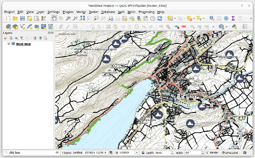
QGIS User Conference 2026: welcoming the community to Laax 🏔️

We’re genuinely excited to co-organise the upcoming QGIS User Conference together with QGIS User Group Switzerland, and to do so in Laax, right here in the Swiss Alps.

Laax is home to OPENGIS.ch and the place where QField was born. It is a setting that has shaped how we work, how we collaborate, and how we think about building open-source tools that are meant to be used in the real world.

Bringing the global QGIS community together in such a place feels just right. People and ideas come together around open source, with space to exchange, reflect, and collaborate, in an environment that mirrors values that are deeply rooted in our DNA and our close connection to nature.

  • Yes, the venue is reached by cable car 🚡
  • Yes, it comes with breathtaking views ⛰
  • And yes, there will be plenty of opportunities to hike, bike, fly, or simply enjoy great conversations 🚵‍♀️🪂🚶‍♂️

The mountains will not just be a backdrop. They will be part of the conference experience.

As Marco, our CEO and Chair of QGIS.org, puts it:

“I’ve never been more excited about a QGIS conference location announcement. Welcoming the community to my hometown in the Swiss Alps feels very special. This is where OPENGIS.ch is based and where QField was born, and it is a perfect place for meaningful exchanges and shared experiences.”

We’re very much looking forward to organising this conference and to welcoming the QGIS community to Laax for what we hope will be a memorable and inspiring QGIS User Conference.

👉 Updates and details can be found at conference.qgis.org

Learn More

QField at FOSS4G 2025 Auckland

Throughout the week, in workshops, presentations, and project showcases, a consistent theme emerged: QField is not just “the mobile companion to QGIS,” it is production infrastructure for complete field-to-cloud-to-desktop workflows.

It was incredible to see how present QField was throughout FOSS4G 2025 in Auckland. With around 20 presentations and workshops featuring QField, the conference showcased a wide range of real-world, production-grade use cases across many sectors.

What stood out was not just the number of talks, but how consistently QField was presented as a trusted, operational tool rather than an experiment.

The QField Ecosystem in Practice

QGIS Desktop for project design, analysis, and quality assurance QField for field capture, with offline-first capabilities when connectivity is limited QFieldCloud for real-time synchronization, team coordination, and project management Plugins and APIs for integration into broader organizational systems

This ecosystem approach transforms field data collection from an isolated task into an integrated workflow. It’s the difference between “collecting points” and “running a programme.”

QField Day: A Community Deep Dive

QField Day at FOSS4G 2025 Auckland
QField Day brought together practitioners, developers, and decision-makers

Early in the conference, QField Day brought together practitioners, developers, and decision-makers for a focused exploration of the platform’s capabilities. The day emphasized practical implementation—what’s possible now, and what organizations are already achieving in production environments.

Workshops

Complete Lifecycle Management

The QField & QFieldCloud workshop covered the full data collection cycle: project setup in QGIS Desktop, field deployment with QField, synchronization through QFieldCloud, and integration back into desktop workflows for analysis and quality control. Participants worked through the entire pipeline, from initial design to final deliverables.

QField & QFieldCloud workshop
Participants worked through the entire pipeline from design to final deliverables

Field-to-Analysis Integration

One workshop demonstrated the speed of modern field-to-cloud-to-analysis workflows by using Auckland itself as a live laboratory. Participants collected ground truth data with QField, then fed it directly into machine learning workflows running in Digital Earth Pacific’s Jupyter environment.

Plugin Development

For developers, the plugin authoring workshop signaled platform maturity. QField’s plugin framework—built on QML and JavaScript—enables organizations to extend core functionality for specific operational requirements. Custom forms, specialized integrations, and domain-specific interfaces can be developed to address the edge cases that real field programmes encounter.

Operational Workflows: Digital Earth Pacific

Production Deployments

Conservation Operations

Zero Invasive Predators fieldwork
QField and QFieldCloud integrated into conservation operations across New Zealand

Zero Invasive Predators showed QField and QFieldCloud integrated into operational fieldwork for predator eradication programmes across New Zealand. Planning happens in QGIS, capture in QField, and coordination through QFieldCloud—enabling systematic management of conservation campaigns across remote terrain.

Government-Scale Implementation

Finland National Land Survey
Finland’s National Land Survey using QField for national topographic data production

Finland’s National Land Survey presented their use of QField as part of national topographic data production infrastructure, deployed alongside QGIS and PostGIS. This represents enterprise validation: a national mapping agency selecting QField for production topographic surveying.

Precision Agriculture

Smart vineyards with QGIS & QField demonstrated advanced symbology, map themes, and structured capture workflows supporting precision agriculture operations—showing that the platform handles the level of detail and complexity that professional workflows require.

Developer Infrastructure and Sustainability

  • QFieldCloud API — programmatic integration for organizations with existing systems, enabling automation, custom integrations, and connection to enterprise infrastructure
  • Who Pays Your Bills? — a transparent discussion of sustainable open-source business models
  • [Re]discover QField[Cloud] — platform maturity often manifests as steady capability growth driven by real field workflows

Context: Open Tools for Public Good

Looking Forward

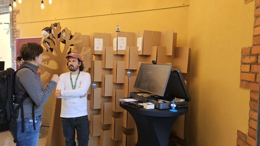
QField booth at FOSS4G 2025
The QField booth — caps gone within half a day!

FOSS4G 2025 Auckland was all about the conversations, and our small booth quickly became a popular meeting point — the QField caps were gone within half a day. We demonstrated the tight integration of Happy Mini Q GNSS with QField, showing how sub-centimeter positioning can be used seamlessly in real field workflows. The booth also featured EGENIOUSS , an EU project where QField complements GNSS with visual localisation for accurate positioning in challenging environments like urban canyons.

Thank you to everyone who shared your workflows, challenges, and stories — whether in presentations, workshops, or over coffee. These conversations remind us that we’re building tools for real people doing important work, and that’s what keeps this community moving forward together.

Learn More

QField 4.0 “Aare”: Unlocking a great spatial experience for a larger audience

Just in time for the end of 2025, QField 4.0 is now available in a virtual store near you. This release brings significant improvements and marks an important usability milestone, worthy of a new major version. It’s truly never been easier to get started with QField—whether you’re a seasoned GIS professional or new to spatial data collection.

Main highlights

One of the most significant feature additions in this new version is right there on the welcome screen: a simple wizard for creating new projects. The wizard guides users through a set of questions covering the desired basemap style and actions such as note taking and position tracking. These projects can be published directly on QFieldCloud, so users can upload images, notes, and tracks that are accessible through web browsers or QGIS using QFieldSync.

The project creation framework also unlocked another feature we’re proud of: on-the-fly conversion of imported projects to cloud projects. The ability to upgrade pre-existing projects to cloud projects means that users can push spatial data and attachments residing on their devices to QFieldCloud and instantly collaborate with coworkers.

On the QFieldCloud front, we’ve done significant code refactoring to make synchronization and attachment uploads even more reliable. Users now see a progress bar showing attachment upload status.

The cloud projects list also lets users push changes and sync projects without opening them first. Indicator badges show whether you have pending local changes or if updates are available from the cloud.

A leaner, clearer, and more focused user interface

Early on in this development cycle, our ninjas decided to make a significant leap forward with QField’s UX focusing on making the user interface leaner when possible, clearer when needed, and more focused throughout. 

QField now has a vastly more readable feature form when viewing feature attributes. We’ve also made the interface more consistent by updating all editor widgets to use Qt’s Material style, so comboboxes, text fields, and other elements now have a unified look.

We’ve also simplified the user experience around positioning. The map canvas now has a single positioning button at the bottom right. Click the location marker overlay to reveal a new pie menu with quick access to positioning features: start tracking sessions, copy position to clipboard, show the positioning panel, lock the coordinate cursor to position, lock the map canvas to position, and add bookmarks at your position.

Now when users set accuracy thresholds, tracking sessions and averaged positioning will automatically filter out “bad accuracy” readings.

QField also animates transitions when jumping to your GNSS position, features, or coordinates, making navigation feel smoother and more intuitive.

Wait, there’s more

Beyond these major improvements, QField 4.0 includes tons of new features:

  • Multilingual projectsa feature we added to QGIS several years ago – are now supported in QField
  • When connected to the internet, QField now displays online legend graphics for WMS and Esri map services, providing crucial context for field users
  • Additional feature form widgets are now supported, including the spacer widget and color editor widget, further improving interoperability with QGIS

A complete list of changes is available in the QField release notes on GitHub.

A new release cycle focused on water bodies

With the QField 4.X series, we’re introducing a new naming theme focused on water bodies.

Oceans, rivers, lakes, wetlands, and coastal waters are fundamental to life on Earth. They provide drinking water, support ecosystems and agriculture, regulate climate, and sustain communities worldwide. Yet these vital resources are increasingly under pressure from pollution, overuse, and climate change.

At OPENGIS.ch, we believe that better spatial data leads to better decisions. By making field data collection easier and more accessible, we aim to support those working to understand, protect, and manage these fragile systems. Dedicating this release cycle to water bodies reflects our commitment to using technology responsibly and connects naturally with the United Nations Sustainable Development Goals, which we consistently strive to support through our work.

For the first release in this cycle, we chose a water body of particular significance to QField: Switzerland’s longest river entirely within the country, Aare.

As always, we hope you enjoy this new release.
Happy field mapping!

Learn More

QField 4.0 "Aare": Unlocking a great spatial experience for a larger audience

Just in time for the end of 2025, QField 4.0 is now available in a virtual store near you. This release brings significant improvements and marks an important usability milestone, worthy of a new major version. It’s truly never been easier to get started with QField - whether you’re a seasoned GIS professional or new to spatial data collection.

Main highlights

One of the most significant feature additions in this new version is right there on the welcome screen: a simple wizard for creating new projects. The wizard guides users through a set of questions covering the desired basemap style and actions such as note taking and position tracking. These projects can be published directly on QFieldCloud , so users can upload images, notes, and tracks that are accessible through web browsers or QGIS using QFieldSync.

The project creation framework also unlocked another feature we’re proud of: on-the-fly conversion of imported projects to cloud projects. The ability to upgrade pre-existing projects to cloud projects means that users can push spatial data and attachments residing on their devices to QFieldCloud and instantly collaborate with coworkers.

On the QFieldCloud front, we’ve done significant code refactoring to make synchronization and attachment uploads even more reliable. Users now see a progress bar showing attachment upload status.

The cloud projects list also lets users push changes and sync projects without opening them first. Indicator badges show whether you have pending local changes or if updates are available from the cloud.

A leaner, clearer, and more focused user interface

Early on in this development cycle, our ninjas decided to make a significant leap forward with QField’s UX focusing on making the user interface leaner when possible, clearer when needed, and more focused throughout.

QField now has a vastly more readable feature form when viewing feature attributes. We’ve also made the interface more consistent by updating all editor widgets to use Qt’s Material style, so comboboxes, text fields, and other elements now have a unified look.

We’ve also simplified the user experience around positioning. The map canvas now has a single positioning button at the bottom right. Click the location marker overlay to reveal a new pie menu with quick access to positioning features: start tracking sessions, copy position to clipboard, show the positioning panel, lock the coordinate cursor to position, lock the map canvas to position, and add bookmarks at your position.

Now when users set accuracy thresholds, tracking sessions and averaged positioning will automatically filter out “bad accuracy” readings.

QField also animates transitions when jumping to your GNSS position, features, or coordinates, making navigation feel smoother and more intuitive.

Wait, there’s more

Beyond these major improvements, QField 4.0 includes tons of new features:

  • Multilingual projects - a feature we added to QGIS several years ago - are now supported in QField
  • When connected to the internet, QField now displays online legend graphics for WMS and Esri map services, providing crucial context for field users
  • Additional feature form widgets are now supported, including the spacer widget and color editor widget, further improving interoperability with QGIS

A complete list of changes is available in the QField release notes on GitHub.

A new release cycle focused on water bodies

With the QField 4.X series, we’re introducing a new naming theme focused on water bodies.

Oceans, rivers, lakes, wetlands, and coastal waters are fundamental to life on Earth. They provide drinking water, support ecosystems and agriculture, regulate climate, and sustain communities worldwide. Yet these vital resources are increasingly under pressure from pollution, overuse, and climate change.

At OPENGIS.ch, we believe that better spatial data leads to better decisions. By making field data collection easier and more accessible, we aim to support those working to understand, protect, and manage these fragile systems. Dedicating this release cycle to water bodies reflects our commitment to using technology responsibly and connects naturally with the United Nations Sustainable Development Goals, which we consistently strive to support through our work.

For the first release in this cycle, we chose a water body of particular significance to QField: Switzerland’s longest river entirely within the country, Aare.

As always, we hope you enjoy this new release.

Happy field mapping!

Learn More

QField 3.7 “Haida Gwaii”: Polishing a great experience

For QField 3.7, we opted for a shorter development cycle that focused on polishing preexisting functionalities from feature form editor widgets improvement through to better nearby Bluetooth device discovery. Of course, we couldn’t help ourselves and still packed in some nice functionality that we thought deserved to reach QField’s growing community as soon as possible.

Main highlights

One of the most interesting new functionalities from this development cycle has been the ability to stamp details on photos taken by QField’s in-app camera. A basic version of this has been supported for a while now; this new version offers flexible customisation of details stamping onto photos, including changing the font size, colour, and horizontal position, as well as providing users with the ability to completely change the details via expression-driven templates and add image overlays onto the photo.

The custom details stamping configuration lives within project files, allowing for individual projects to drive styling and details. The configuration interface is provided by QFieldSync and can be found in the project properties dialog by switching to the QField panel when setting up projects in QGIS:

The other significant addition in this release is the new plugin manager’s Available Plugins tab, which offers a curated list of plugins that can easily be installed with a single tap. The list makes it much easier to discover plugin-delivered functionalities such as online routing, geocoding searches, and much more.

The plugin manager can also alert users of available updates for their installed plugins, ensuring that crucial bug fixes and improvements are easily delivered. When a new version is released, users can update via a single tap. We are looking into the possibility of enabling automated plugin upgrades soon.

Long-time users of QField are probably aware of a nifty feature that allowed individual project layers to be locked, and for that lock to be driven by a data-defined property expression. For this new version, we’ve supercharged the layer lock functionality by breaking it down into four distinct vector layer permissions that can be disabled: i) feature addition, ii) attribute editing, iii) geometry editing, and iv) feature deletion. These permissions can be disabled by activating a checkbox or conditionality turned on via a data-defined property expression.

The disabling of permissions using a data-defined property expression allows for interesting scenarios when paired with QField-driven expression context variables such as the user name of a logged-in QFieldCloud account (@cloud_username), GNSS positioning (@gnss_coordinate) and more. Users can easily restrict permissions based on the user interacting with a cloud project, or form advanced geofencing-like rules based on location, time of the day, etc. For more details on available variables, read this page on QField’s growing documentation site.

Improvements all around

As mentioned above, this version focused on polishing preexisting functionality. Noteworthy improvements include:

  • support for multiple column display as well as the ability to filter value relation lists;
  • support for reversing the sorting order of the relationship editor’s children lists;
  • smoother scanning process to discover nearby Bluetooth devices when adding external GNSS devices; and
  • support for feature identification against vector tile layers (give that a try with the new OpenStreetMap shortbread vector tiles!).

Finally, life for QFieldCloud users has improved with the support for resuming large file downloads when fetching a cloud project, eliminating the need to restart from scratch after an interruption due to poor connectivity. In addition, users will notice a new notification badge on the top-left main menu button, indicating that a cloud project has pending changes ready to be pushed to the server.

We hope you enjoy this new version as much as we do delivering it to you. Happy field mapping!

Learn More

QField 3.7 “Haida Gwaii”: Polishing a great experience

For QField 3.7, we opted for a shorter development cycle that focused on polishing preexisting functionalities from feature form editor widgets improvement through to better nearby Bluetooth device discovery. Of course, we couldn’t help ourselves and still packed in some nice functionality that we thought deserved to reach QField’s growing community as soon as possible.

Main highlights

One of the most interesting new functionalities from this development cycle has been the ability to stamp details on photos taken by QField’s in-app camera. A basic version of this has been supported for a while now; this new version offers flexible customisation of details stamping onto photos, including changing the font size, colour, and horizontal position, as well as providing users with the ability to completely change the details via expression-driven templates and add image overlays onto the photo.

The custom details stamping configuration lives within project files, allowing for individual projects to drive styling and details. The configuration interface is provided by QFieldSync and can be found in the project properties dialog by switching to the QField panel when setting up projects in QGIS:

The other significant addition in this release is the new plugin manager’s Available Plugins tab, which offers a curated list of plugins that can easily be installed with a single tap. The list makes it much easier to discover plugin-delivered functionalities such as online routing, geocoding searches, and much more.

The plugin manager can also alert users of available updates for their installed plugins, ensuring that crucial bug fixes and improvements are easily delivered. When a new version is released, users can update via a single tap. We are looking into the possibility of enabling automated plugin upgrades soon.

Long-time users of QField are probably aware of a nifty feature that allowed individual project layers to be locked, and for that lock to be driven by a data-defined property expression. For this new version, we’ve supercharged the layer lock functionality by breaking it down into four distinct vector layer permissions that can be disabled: i) feature addition, ii) attribute editing, iii) geometry editing, and iv) feature deletion. These permissions can be disabled by activating a checkbox or conditionality turned on via a data-defined property expression.

The disabling of permissions using a data-defined property expression allows for interesting scenarios when paired with QField-driven expression context variables such as the user name of a logged-in QFieldCloud account (@cloud_username), GNSS positioning (@gnss_coordinate) and more. Users can easily restrict permissions based on the user interacting with a cloud project, or form advanced geofencing-like rules based on location, time of the day, etc. For more details on available variables, read this page on QField’s growing documentation site .

Improvements all around

As mentioned above, this version focused on polishing preexisting functionality. Noteworthy improvements include:

  • support for multiple column display as well as the ability to filter value relation lists;
  • support for reversing the sorting order of the relationship editor’s children lists;
  • smoother scanning process to discover nearby Bluetooth devices when adding external GNSS devices; and
  • support for feature identification against vector tile layers (give that a try with the new OpenStreetMap shortbread vector tiles!).

Finally, life for QFieldCloud users has improved with the support for resuming large file downloads when fetching a cloud project, eliminating the need to restart from scratch after an interruption due to poor connectivity. In addition, users will notice a new notification badge on the top-left main menu button, indicating that a cloud project has pending changes ready to be pushed to the server.

We hope you enjoy this new version as much as we do delivering it to you. Happy field mapping!

Learn More

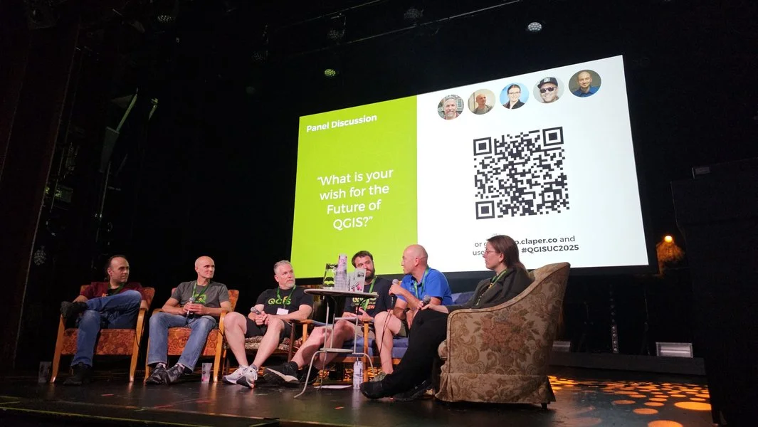
Celebrating community, innovation, and open-source GIS in Sweden - AKA the QGIS user conference 2025

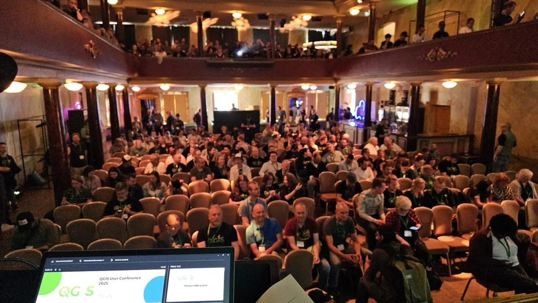
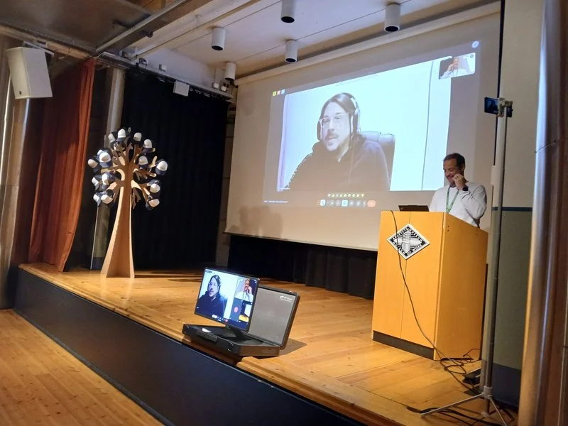
It was such a pleasure to be part of the QGIS User Conference 2025 in Norrköping! The event was extremely well organised — a big thank you to the amazing local team for pulling it all together so smoothly. Personally, it felt special to be back in Sweden, almost 20 years after my Uppsala university days. I truly enjoyed giving the opening keynote and sharing the latest from the QGIS project — and of course, showcasing all the QField greatness we’ve been working so hard on 💚


🚀 Talks & Presentations

🎊 QGIS.org updates

As Chair of the QGIS.org association, I had the opportunity to share recent updates from the QGIS community. I spoke about ongoing development efforts, community growth, funding initiatives, and collaborations that help keep the project moving forward.
The focus was on the people who make QGIS possible — contributors, sponsors, local user groups, and everyday users — and how their involvement continues to shape the project’s direction and ensure its long-term sustainability.

👉 Slides here (unfortunately keynotes and workshops were not recorded)


💡 Extending QFieldCloud – Ideas and Practical Examples

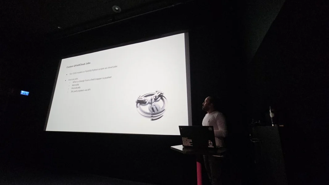
In this talk, Michael, one of our Full stack GeoNinja and Web Cartography teacher, explained how QFieldCloud can be extended by integrating additional Django apps. This allowed, for example, the generation of QField projects, reacting to events from fieldwork, adding new websites and APIs, and executing entire QGIS models as QFieldCloud jobs.

After a technical introduction, various practical examples were explored. It was shown how OpenStreetMap data can be fully automated to download offline-capable QField projects. Attendees got inspired by how an own WebGIS is brought to life in QFieldCloud using OpenLayers. Furthermore, he demonstrated how remote sensing data can be downloaded, analysed in a QGIS pipeline, and the results made available in QField projects. Finally, the discussion focused on how these capabilities can be optimally used in combination with QField plugins.


🛣️ SIGNALO: An Open-Source Solution for Mapping Road Signs in QGIS

Presented by Denis, our Industry Solution Team Lead, SIGNALO is a QGIS-based solution for mapping road signs, powered by a PostGIS database. It addresses the challenge of representing vertical data on maps while ensuring compliance with Swiss norms, yet remains highly customizable for use at local, regional, or national levels. Moreover, the flexible design allows for easy adaptation to other countries.

In this talk, Denis explored both the technical foundations of the project and the organizational strategies that enable its open-source development.

📱 1.5 Million Reasons to Use QField

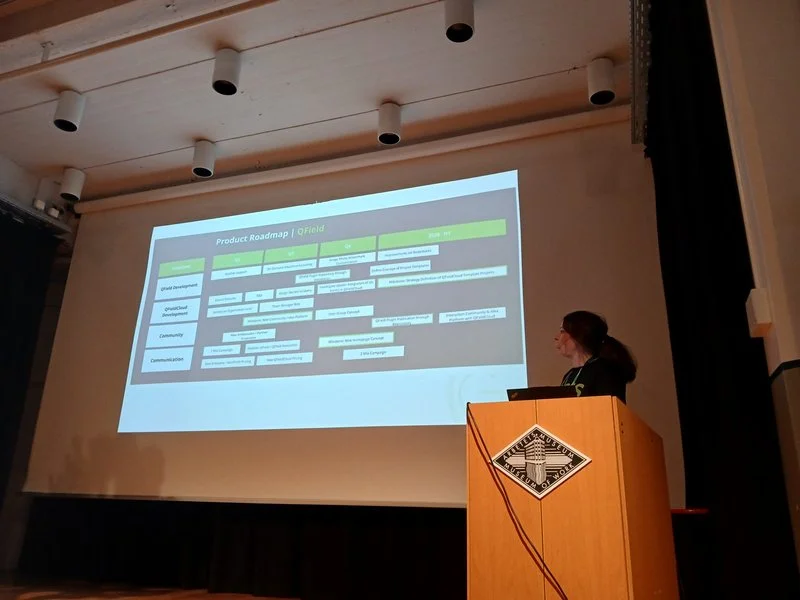
In this talk, I shared our vision for the future of QField — the world’s most popular open-source mobile GIS solution. With over 1.4 million downloads and 500,000 active users, QField is making a real difference for fieldwork around the globe.
I spoke about where we’re headed next, what new features are coming, and how we at OPENGIS.ch are working to empower professionals across all sectors with powerful, flexible, and open tools for mobile geospatial workflows.


💧 Standardizing Groundwater Data Collection with QField

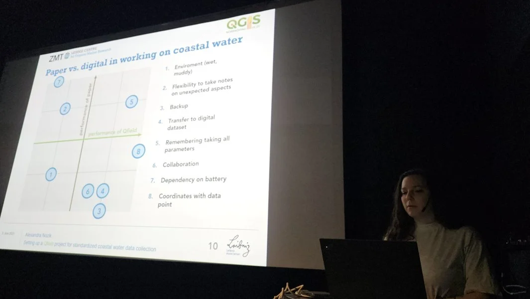
We were excited to see Alexandra Nozik from the Leibniz Centre for Tropical Marine Research (ZMT) present her work on a QField project designed to standardize groundwater data collection in remote tropical regions. The setup uses QGIS layers, predefined parameters, and metadata standards to ensure high-quality, consistent field data. Integrated with QFieldCloud, the workflow improves data accuracy, reduces data loss, and enables real-time collaboration. The project will be published on GitHub as a ready-to-use package, supporting reliable and comparable groundwater data collection across the scientific community.

📱 QField and QFieldCloud - seamless fieldwork for QGIS

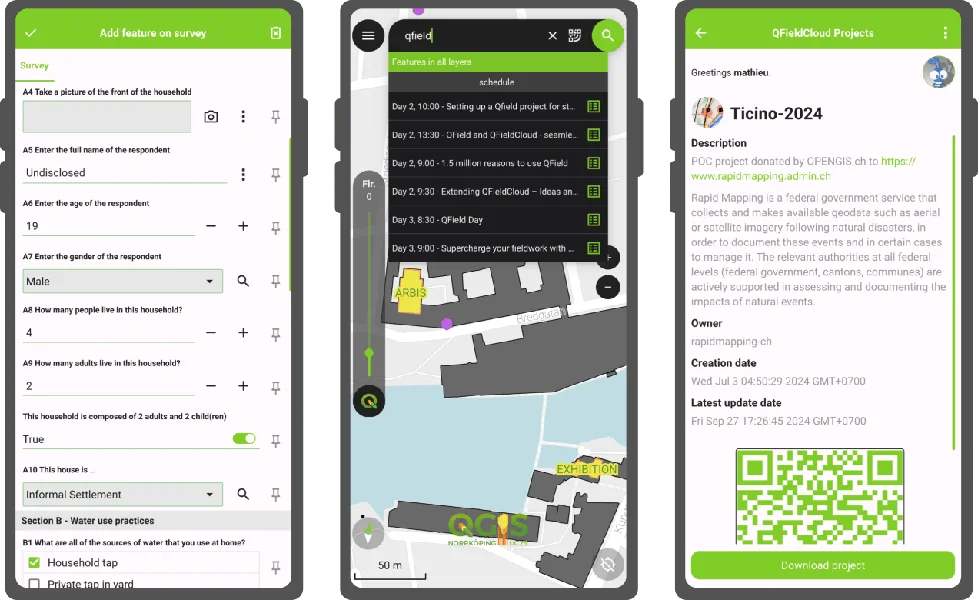
In this workshop, Zsanett, QField Product Manager, went through the complete fieldwork process: setting up a QGIS project, publishing the project via QFieldCloud, collecting data via the QField mobile app and synchronising the field data back to your main dataset in the office. QField works on top of QGIS and allows users to set up maps and forms in QGIS on their workstation and deploy them in the field. QField uses QGIS’s data providers (OGR, GDAL, PostGIS and others) and supports most common file formats. QField combines a minimal design with sophisticated technology that allows intuitive viewing and editing of data. QField’s map rendering is supported by the QGIS rendering engine, so the results are identical and the full range of styling options available on the desktop is available. Editing forms in QField respect the QGIS configuration and are optimised for touch interaction. QFieldCloud makes field collaboration much easier. Participants learned about configuring users with different rights, collecting offline and online data, and synchronizing field data and QGIS project data.


🚀 Our first international QField Day

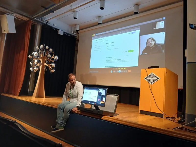
On June 4th, the first international QField Day took place in Norrköping, right after the QGIS User Conference. This free half-day event was dedicated to QField, QFieldCloud, and the mobile GIS community, bringing together users, contributors, and developers for an afternoon of field-tested workflows, live demos, community stories, and open discussions. It was a great opportunity to connect, exchange ideas, and explore the future of mobile geospatial tools in the open-source ecosystem.
Definitely not our last one. 💚

🤝 Supporting Open Source

We were proud to support QGIS UC25 in Norrköping, Sweden, as Platinum Sponsors — reaffirming our commitment to the open-source geospatial community and the continued growth of the QGIS ecosystem.


👋 Looking Ahead

We’re already looking forward to the next gathering — QGIS UC26 will take place in Switzerland 🇨🇭!

After the conference, I joined the contributor meeting along with four QGIS developers from OPENGIS.ch. It was a fantastic chance to collaborate in person, help shape the future of QGIS, and reconnect with old friends from the community.


Learn More